A century-long exploration of the ocean's mysteries
The Nippon Foundation-GEBCO Seabed 2030 Project, launched in 2017 with the goal of completing the mapping of the world's seafloor by 2030, has made significant strides. As of June 2025, 27.3% of the ocean floor has been mapped to modern standards, covering an area of over 4 million square kilometers—roughly the size of the Indian subcontinent.
Accelerated Mapping and Global Engagement
Since its inception, the rate of mapping has more than quadrupled. The project has welcomed contributions from 14 new organisations, including first-time data providers such as Comoros, Cook Islands, Kenya, Mozambique, and Tanzania. The total number of contributors now exceeds 185.
Leveraging Technology
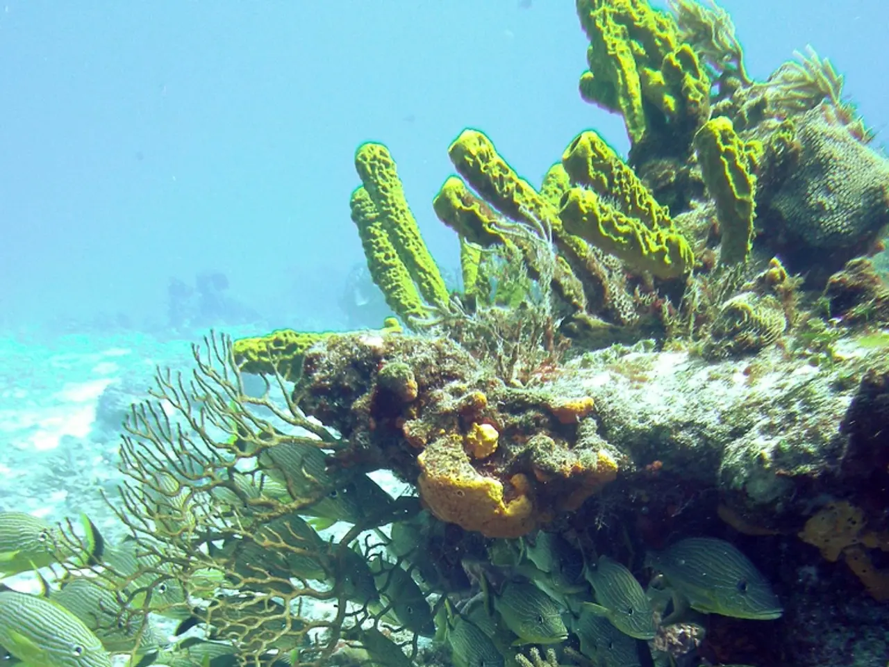
The project utilises cutting-edge technologies such as autonomous underwater vehicles (AUVs), multibeam sonar systems, autonomous surface vessels, satellites, and crowdsourced data from commercial and research vessels. These technologies enable high-resolution, 3D mapping of the seabed down to 6,000 meters with centimeter precision, even in remote and challenging environments like the Arctic and the deep Indian Ocean.
Global Collaboration
The project's success relies heavily on international collaboration. Progress is highlighted at major forums such as the 2025 UN Ocean Conference in Nice, where the value of bathymetric data for the blue economy, coastal resilience, biodiversity, and climate strategies was underscored.
Challenges Ahead
Despite this momentum, approximately 72.7% of the ocean floor remains unmapped to modern standards. The most challenging regions—deep-sea and polar areas—are logistically difficult and expensive to survey due to harsh conditions, remoteness, and the technical complexity of operating in these environments. However, advances in autonomy, data processing, and continued global collaboration offer hope that the pace of mapping will continue to accelerate.
Future Outlook
The Seabed 2030 Project represents a unifying vision for the global scientific, industry, and governmental communities. While the goal of complete mapping by 2030 is ambitious and faces significant hurdles, the progress over the past eight years has been remarkable. The project not only advances scientific understanding but also supports practical applications in resource management, environmental protection, and disaster preparedness.
Summary Table: Seabed 2030 Progress
| Year | % of Seafloor Mapped (Modern Standards) | Key Developments | |------|------------------------------------------|-------------------------------------------------------| | 2017 | 6% | Project launch, initial baseline | | 2024 | >26% | Rapid acceleration, new contributors | | 2025 | 27.3% | Over 185 contributors, enhanced technology, global engagement |
With seven years remaining until the 2030 deadline, the project must maintain or increase its current pace to achieve its audacious goal. The combination of technological innovation and international cooperation will be crucial in the years ahead.
For more information, visit GEBCO's data and products page to access the maps of world ocean bathymetry, or explore the historical bathymetric data sets at this link.
- The Seabed 2030 Project's use of technology, such as autonomous underwater vehicles, multibeam sonar systems, satellites, and crowdsourced data, has significantly accelerated the rate of ocean mapping.
- The project's success in mapping the seafloor relies on global collaboration, and this was showcased at the 2025 UN Ocean Conference where the importance of bathymetric data for various fields like the blue economy, coastal resilience, biodiversity, and climate strategies was emphasized.
- Despite the significant progress made in the project, approximately 72.7% of the ocean floor remains unmapped to modern standards, highlighting the challenges ahead in deeply-seated and polar regions due to logistical difficulties, harsh conditions, remoteness, and technical complexity.


