"Ocean Monitoring Unleashed: AI and Satellite Technology Revolutionizing the Fight Against Illegally Caught Fish in the Sea"
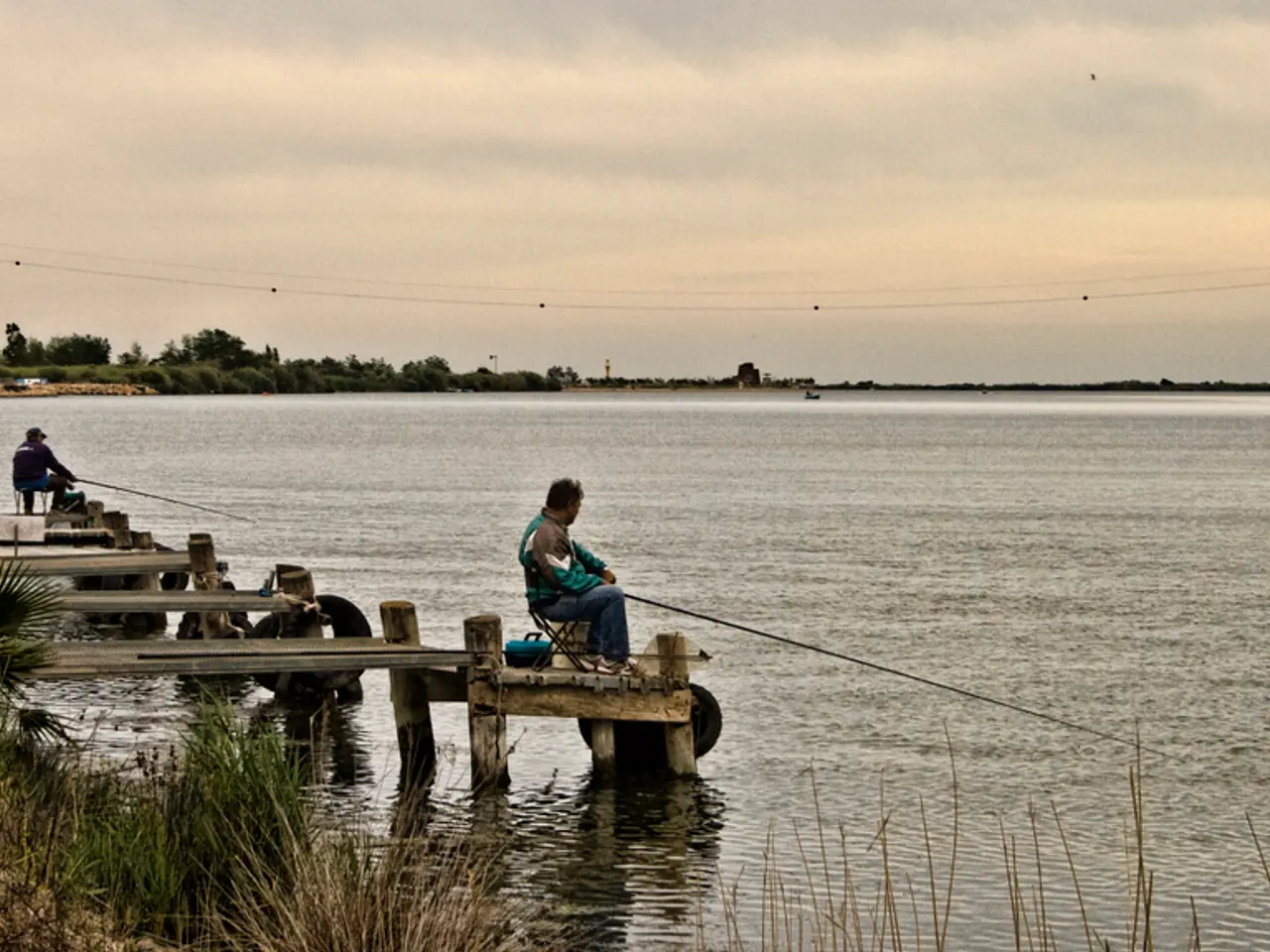
In a groundbreaking study, researchers have found that Marine-Protected Areas (MPAs) are highly effective at deterring illegal fishing. Analyzing 1,380 MPAs worldwide, the study found that 78.5% experienced no commercial fishing activity, and among those where illegal fishing was detected, 82% averaged less than 24 hours of illegal fishing per year.
The combination of satellite imagery and artificial intelligence (AI) plays a crucial role in this enforcement and deterrence. Satellites, including radar capable of detecting vessels operating "dark" (without active tracking signals), provide near real-time monitoring over vast and remote ocean areas. AI algorithms analyze this vast data to identify suspicious activity, track vessel movements, and distinguish between legal and illegal fishing acts.
This technology effectively makes illegal fishing "visible" and helps authorities enforce regulations more efficiently, bridging gaps in traditional monitoring methods such as patrol boats or on-water inspections. The satellite imagery primarily comes from the European Space Agency's family of Sentinel 1 Earth-observation satellites.
The study, published on July 24 in the journal Science, highlights the importance of this approach in the crown jewels of the ocean - the world's most strongly protected areas - where the stakes for enforcement and biodiversity are highest. However, enforcement remains critical; even with advanced surveillance, effective legal and practical measures are necessary to address detected violations.
Juan Mayorga, a scientist with National Geographic Pristine Seas, stated that the ocean is no longer too big to watch with the help of cutting-edge satellites and AI. Unfortunately, not all MPAs are equally protected. The Great Barrier Reef Marine Park off the coast of Australia is still heavily fished, suffering approximately 900 hours of illegal fishing every year. Some MPAs, such as the Chagos Marine Reserve in the Indian Ocean and the MPA around the South Georgia and South Sandwich islands, are also still being heavily fished.
Different MPAs operate under different rules depending upon which nation they belong to. Some ban fishing all year around, while others prohibit it at certain times of year or permit fishing just for local communities. MPAs in territorial waters are managed by the governments of those territories, while those in international waters are maintained by collaborations between nations or UNESCO.
The new data shows that MPAs are doing the job they were designed to do. The study found that the Automatic Identification System (AIS) was missing 90% of illegal fishing, and it was only the use of satellite imagery and AI that identified how much illegal fishing was ongoing in these regions. The study's findings are critical for reaching the Global Biodiversity Framework's 30 by 30 target, which aims to protect 30% of oceans by 2030.
In conclusion, the integration of satellite data and AI enhances the ability to monitor, detect, and deter illegal fishing in MPAs, thereby contributing significantly to the conservation and restoration of ocean biodiversity.
- The use of satellite imagery and AI has proven crucial in enforcing regulations in Marine-Protected Areas (MPAs), as it helps detect illegal fishing activities that traditional monitoring methods may miss.
- The combination of these technologies effectively makes illegal fishing "visible", bridging gaps in traditional monitoring methods such as patrol boats or on-water inspections.
- The new study highlights the importance of satellite imagery and AI in the enforcement of regulations in the world's most strongly protected areas, particularly in relation to climate-change and environmental-science.
- The integration of satellite data and AI is critical for reaching the Global Biodiversity Framework's 30 by 30 target, as it significantly contributes to the monitoring, detection, and deterrence of illegal fishing in MPAs, thereby conservation and restoration of ocean biodiversity.


